West Highland Way


Length: 154km
Elevation gain: +3405m
The West Highland Way (WHW) is Scotland’s most iconic and well-loved long-distance trail. Spanning roughly 154 km from Milngavie to Fort William, it leads you through a striking mix of landscapes and some of the Highlands’ most spectacular scenery. With around 40,000 people completing the route each year, you’re unlikely to find yourself alone. In fact, expect plenty of camaraderie among fellow hikers along the way!
In May 2024, I tackled the WHW as my first-ever multi-day hike – and I couldn’t have chosen a better introduction. From the very start, I was surrounded by beautiful countryside that gradually unfolded into a truly unforgettable Highlands adventure. Over six full days, I wandered through gentle farmlands and dense forests, traced the shores of Loch Lomond, crossed rugged moorlands, and explored mystical glens. To fully embrace the journey, I camped for nearly the entire route, and I’d wholeheartedly recommend others do the same!
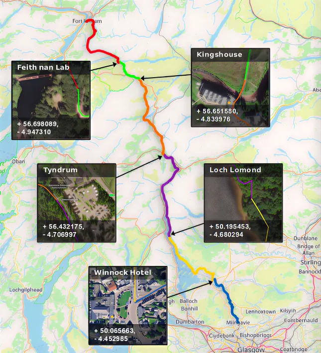
I’ve compiled a GPX file outlining the route, including some points of interest and suggested wild-camping locations. Simply click the button below to download the file!
A quick glance!
Itinerary
Day 1 – 20km / +225m – Milngavie to Winnock Hotel
The journey began slowly, gently introducing the adventures ahead. The day passed through rolling countryside – no Highlands yet, but still very enjoyable. As evening brought worsening weather and a thunderstorm warning, I decided to play it safe and spend the first night in a hotel.
Day 2 – 29km / +715m – Winnock Hotel to Loch Lomond
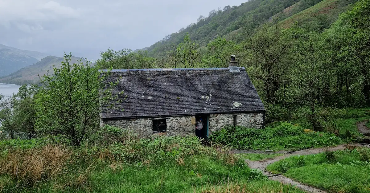
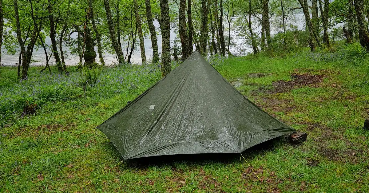
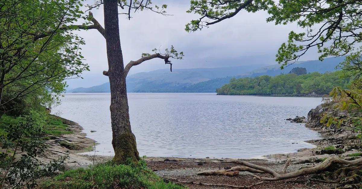
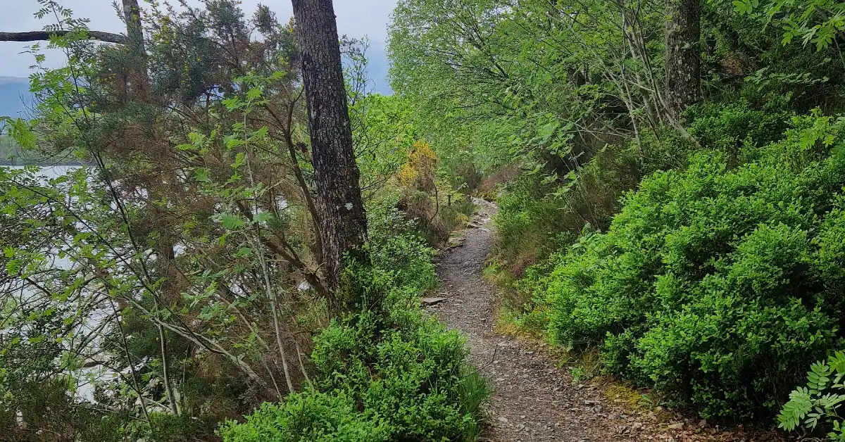
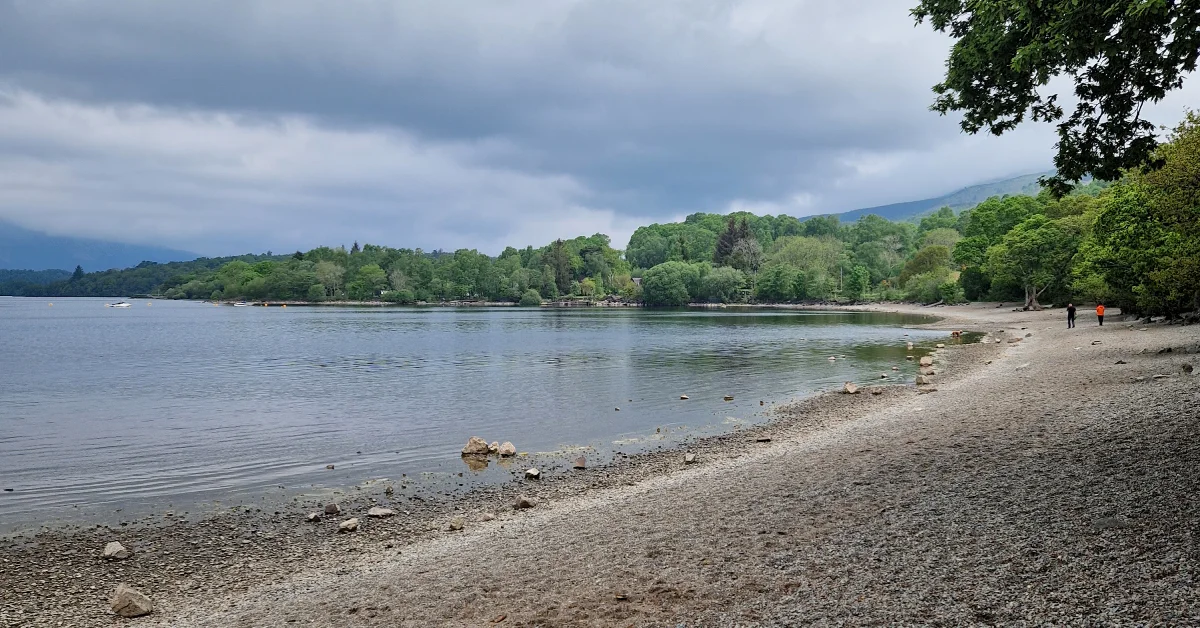
The day began with a climb to the summit of Conic Hill, where stunning views over Loch Lomond made it worthwhile. The descent led into a peaceful walk along the loch’s shoreline. Just before Rowchoish Bothy, I found a great wild camping spot by the water, perfect for the night!
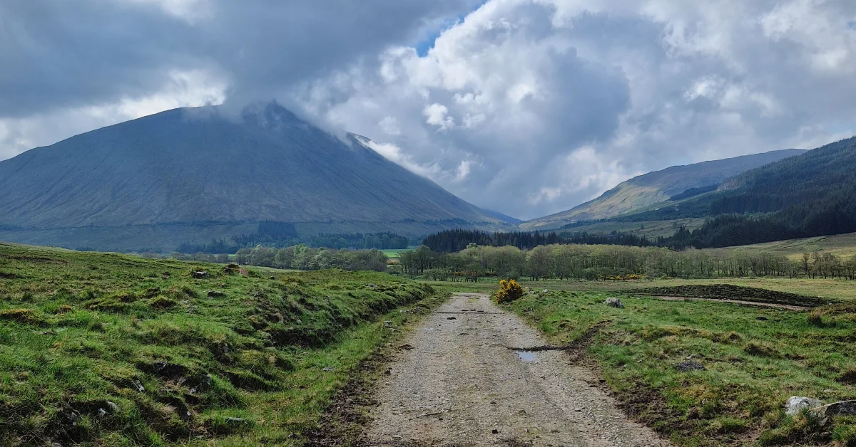
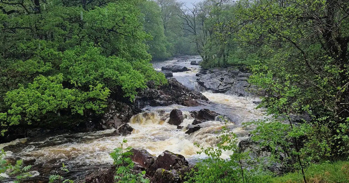
Day 3 – 35km / +855m – Loch Lomond to Tyndrum
It was a long day, marked by the scenic Inversnaid Falls and the Falls of Falloch, as the Highlands gradually opened up. I reached a campsite in Tyndrum by evening, though in hindsight, camping earlier by the River Falloch might have made for a more memorable night.
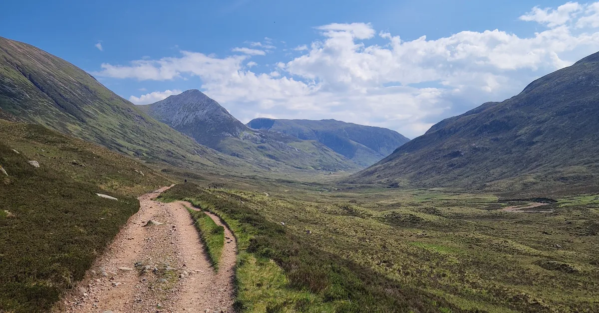
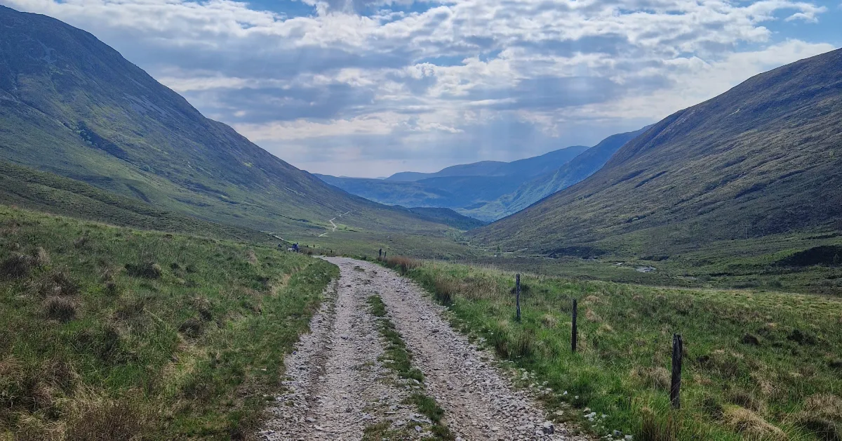
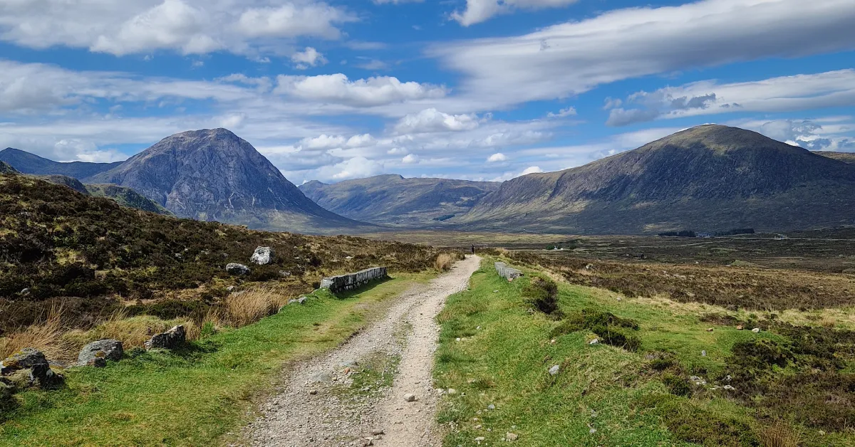
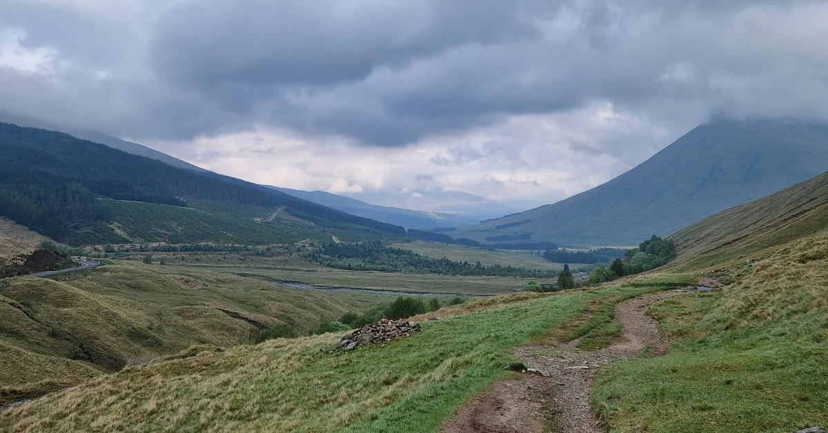
Day 4 – 31km / +610m – Tyndrum to Kingshouse
Today was the highlight of the trip so far. I explored magical glens, tackled challenging climbs, and crossed rugged moorlands with sweeping views of the Highlands. By the time I reached Kingshouse, I had time for a hot shower and a good meal before setting up camp for the night.
Day 5 – 11km / +385m – Kingshouse to Feith nan Lab Reservoir
A shorter day provided a welcome break from the previous exertions. The Devil’s Staircase was a tough climb, but the views at the top made it worthwhile. I camped a few kilometres outside Kinlochleven, planning to grab breakfast in town the next morning.
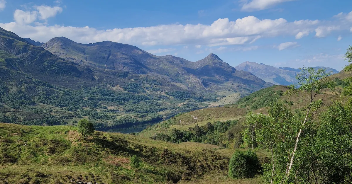
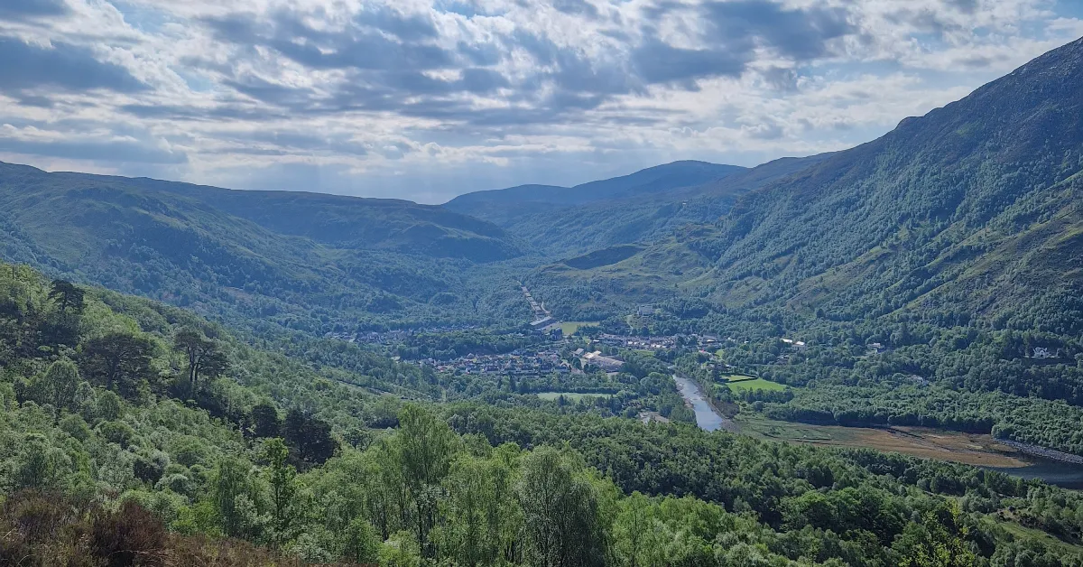
Day 6 – 28km / +615m – Feith nan Lab Reservoir to Fort William
After breakfast in Kinlochleven, I set off on a short but challenging climb into some spectacular open moorlands. The day’s highlight was catching sight of Ben Nevis, the UK’s highest peak, before descending into Fort William and concluding an unforgettable journey!
Summary of segments
The wild haggis

Some practical information
- The best way to get to the starting point in Milngavie is by train from Glasgow’s Queen Street station. The journey takes about 25 minutes.
- Getting back from Fort William is easiest by bus. There is a scenic rail service back to Glasgow as well, but it only runs a few times per day.
- The trail is very well waymarked. Having a map is a good idea, but not necessary. Just keep your wits about and you will not miss a turn!
- The trail is a mix of gravel paths, paved sections, logging and miners roads. For footwear, I would recommend well cushioned trail runners.
- There are many eating and re-supply opportunities on the way. If wild camping, I would carry at most two day’s worth of food.
- Wild camping spots are plentiful along the trail. I’ve marked as many as I could into the downloadable GPX file. Just keep in mind that around the southern end of Loch Lomond a permit is required!
- If you prefer, plenty of campsites and hotels are dispersed along the way as well. However, during peak season it can be tough to make a reservation – so plan early!
- In Kinghouse, there are public showers. However, you have to pay to use them – at the time, the cost was one pound and the machine only accepted coins.
- Carrying one to two litres of water is probably enough as there are several opportunities to refill. If using streams, a water filter is always recommended – the route is not that remote, there is livestock around.
- Pack proper rain gear! In Scotland, when it rains it RAINS and good rain gear will protect you from getting wet, cold and ill!
What do you think?
Please note that submitting a comment requires providing your email address. This is necessary solely for spam prevention – your email address will remain confidential and will not be published.